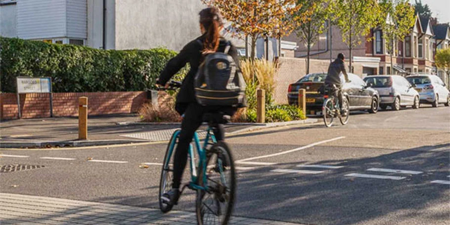
In Siem Reap, Cambodia and Luang Prabang, Laos – both home to world-renowned UNESCO World Heritage sites – the existing road infrastructure network is being stretched to its capacity. Both cities are faced with common challenges, including population growth, urban development, predilection for driving (mainly on two-wheeled vehicles) and an increasing vehicle fleet, road safety issues, along with emissions and congestion.
The World Bank commissioned Arup to develop a vision and plans to facilitate greener mobility for the two cities. The aim was to catalyse a modal shift to walking, cycling, non-motorised transport (NMT) and public transport to preserve the unique heritage sites which serve as an economic driver through tourism.
We conducted extensive research and employed data-driven methodologies to design and implement a green mobility plan. This included developing city-level and street-level green mobility indices for benchmarking, and leveraging geolocation data to inform the planning of public transport, walking and cycling routes.
This project facilitates sustainable urban development, reduces environmental impact, and preserves the cultural heritage of two key tourist destinations. By transforming transportation infrastructure, the project helps cities manage urban growth effectively and sustainably, promoting a higher quality of life for both residents and visitors. This approach and the evidence-based methodology could also be applied to help other similar cities develop their own plans to transition toward more sustainable and green mobility.
Evidence-based, data-driven approach to inform decision making
To assess current mobility patterns and infrastructure challenges, we developed the city-level and street-level indices. The city-level index benchmarks the city’s green mobility ‘friendliness’ and supportiveness against other UNESCO heritage cities, while the street-level index includes more detailed quantitative analysis to identify particular streets or corridors for active mobility enhancements.
We also leveraged anonymous geolocation data to understand trip patterns, and inform bus route planning and key corridors for potential walk/cycle improvements.
A proposed package of investment for each city – alongside better zoning and improved enforcement of regulations to prevent illegal parking – will safeguard people’s health as well as protect the heritage sites from more environmental damage.

Empowering and building capacity
We conducted workshops and training sessions with local government officials and university students to improve understanding of green mobility, and disseminate new and innovative analytical techniques applicable to the planning and design of green mobility, focusing on walking, cycling, NMT, and public transport. These sessions also sought to inspire and encourage sentiment toward facilitating green mobility and encouraging careers with a focus on green mobility.
Projects
Explore more roads and streets projects
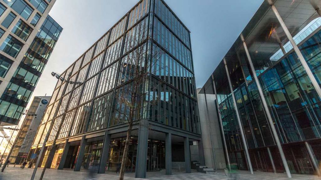
Major redevelopment transformed with integrated transport and sustainable design
Cardiff Central Square
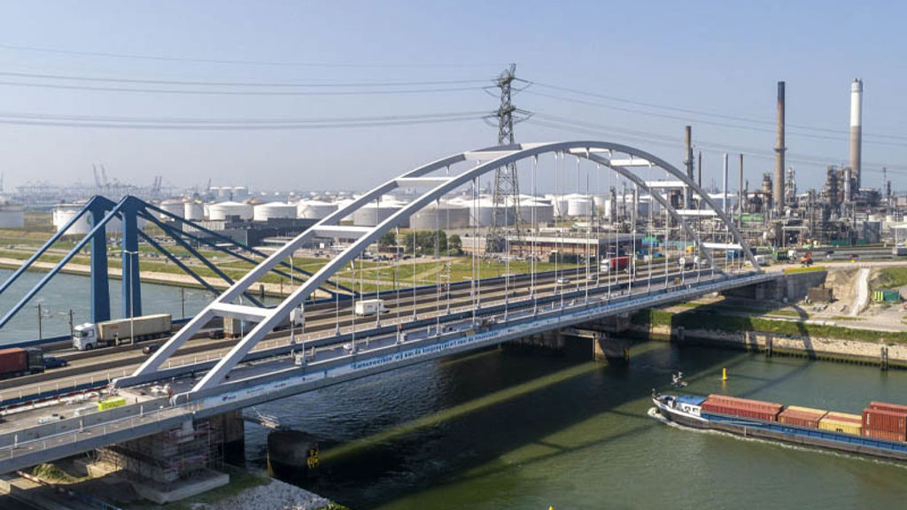
Strengthening Suurhoff bridge with innovations in bridge renovation
Suurhoff bridge, Netherlands

Sustainable innovation drives design of Copenhagen’s proposed Eastern Ring Road
Eastern Ring Road, Denmark
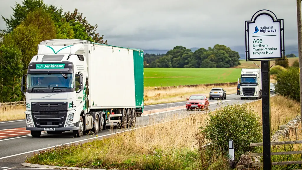
Transforming the A66 Northern Trans-Pennine to deliver more than just safer journeys
A66 Northern Trans-Pennine upgrade, United Kingdom
Get in touch with us
If you'd like to speak to one of our roads and streets experts about any of the issues raised on this page or a potential collaboration then please get in touch by completing the form.