Safeguarding Hong Kong from landslide hazards for over 40 years
Landslip Prevention and Mitigation Programme

Arup have been at the forefront of slope engineering and landslide prevention in Hong Kong for over 40 years since our involvement in the aftermath of the tragic 1972 Po Shan Road landslides and even before we set up our permanent office in the city in 1976.
Our established geotechnical engineering expertise was the basis for our initial consultations under the Landslip Preventive Measures (LPM) Programme in 1992 and the subsequent Landslide Prevention and Mitigation (LPMit) Programme in 2010. These concern man-made slope/retaining wall stabilisation and hazard assessment and mitigation for natural terrain hillsides respectively. During this process, we were responsible for the investigation, design and construction management of stabilisation works, geohazard assessments and the design and construction management of hazard mitigation works.
Ensuring public safety
While Hong Kong is well-known as a densely populated city, it may be surprising to learn that over 60% of the total land area is natural terrain. The city suffers, on average, about 300 landslides each year. With a shortage of flat available land, and with new developments and infrastructure increasingly encroaching into steep hillside areas, the threat from landslides has long been a constant of Hong Kong life.
To help manage this threat and minimise the risk to the public, the Hong Kong Government implemented a series of programmes to systematically investigate and mitigate landslide hazards from man-made slopes and retaining walls, and later from natural terrain hillsides too. Arup has had a continual involvement with LPM/LPMit since our initial appointment, and we have been a constant partner on this journey.


Advancing analytical approaches
Throughout the programmes we have worked closely with the authority to develop and implement state-of-the-art and pioneering approaches for the assessment of landslide hazards. This included the novel use of tools such as finite element analysis and Geographical Information Systems (GIS) in the 1990’s, through to more recent development of laser scanning for site surveying, three-dimensional analysis of landslide debris run-out, and barrier interaction, as well as the use of artificial intelligence (AI) to map landslide locations from aerial photographs.
Sustainable solutions
Delivering sustainable, cost-effective, and sound solutions has always been at the forefront of our design approach. This has included the use of fully integrated 3D-models to minimise material usage and ensure buildability, up-cycling and re-use of construction spoil to avoid off-site disposal, and soil bioengineering to rehabilitate shotcrete covered landslide scars and promote biodiversity.

Learning from the past
In addition to the design services provided for slope stabilisation and landslide hazard mitigation, Arup have also provided landslide investigation services for a number of major landslide incidents in Hong Kong. The findings from these investigations have given valuable insight into the key factors influencing landslide occurrence, allowing our engineers to learn from the past and refine and enhance the subsequent approaches adopted for hazard assessment and mitigation for future projects.
Projects
Explore more projects

How can timber help to decarbonise housing construction in Africa?
Gatsby Africa, Kenya

Powering Scotland's future: how offshore wind farms will accelerate renewable energy
Caledonia Offshore Wind Farm, United Kingdom
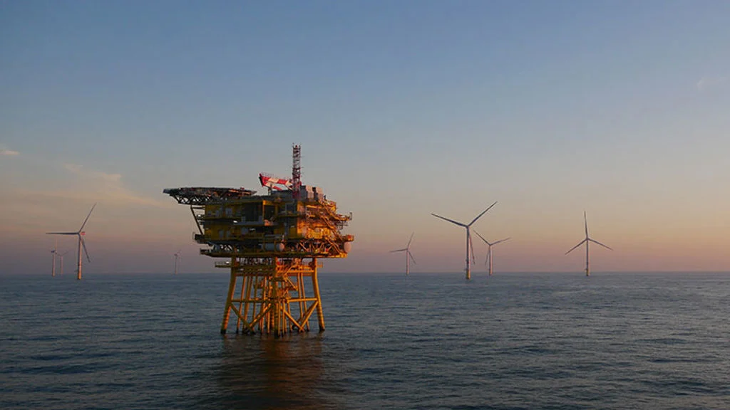
Accelerating the development of global offshore wind infrastructure
Offshore wind farms

Creating cool and green streets with spatial data
Strategic Prioritisation Map for Water Sensitive Urban Design, Australia