The Leeds Phase 1 Flood Alleviation Scheme (FAS) is one of the UK’s largest flood defence projects and the first in the country to use moveable weirs as a pioneering solution to flooding.
First-hand experience of flooding
With a local office located on the River Aire and having seen first-hand the effects of flood damage to the area, Arup became involved in the project to develop a new scheme that provided a more sustainable solution.
Working together with Leeds City Council, we developed an alternative proposal more in keeping with the city’s character and landscape. We focused on reducing the obstructions that were causing water levels to rise, meaning we could significantly reduce the visual impact of the flood measures on a smaller budget whilst enhancing conservation of the local environment.
The first phase of the scheme was completed in 2017, and it is now helping to protect more than 3,500 homes and 500 commercial city centre properties as well as critical access routes to Leeds train station.
Achieving efficiency through BIM digital modelling
From the outset, we developed a 3D digital model of the city to visualise the high flood risk and help convince stakeholders, including political decision makers, of the urgent need to improve flood mitigation.
As the project developed, we introduced a web-accessible interactive BIM model to ensure all stakeholders - including the project team, the client, the planning authority and the design and build contractor - had access to the most up to date project information at any given time. The project team was able to navigate the complete scheme within the digital model, enabling a collaborative approach and allowing for critical issues to become more apparent and be mitigated earlier, providing greater certainty for construction costs.

Protecting city residents from frequent flooding
The second element of the scheme focused on preserving the high-quality public areas along the River Aire. As the new mechanical weirs help reduce the flood water level in the city, we were able to build flood defence walls on each riverbank that are less than 1.2m high and less than 50% of the height initially proposed.
Our solutions provide robust flood protection for a 5km section of the city centre. In the most populated public areas, flood-proof glazed units were installed to maintain the views of the river.


Creating a new walkway with a dual purpose
The final part of the scheme included removing and relocating an artificial island that separated the river and canal along a 600m stretch. We removed this critical water flow bottleneck by designing a diversion of the Trans Pennine Trail - a popular route loved by walkers, cyclists, and horse riders across the region.
The new 1km walkway on the left bank of the river included measures to encourage wildlife and plant life and improve public wayfinding. The trail needed to cross the river Aire, so a locally manufactured bridge was installed at the weir location connecting the diverted trail with the north bank of the river.

A first-class flood protection scheme
The implementation of this £50 million Phase 1 scheme puts Leeds at the forefront of national flood defence schemes. It has created 150 direct jobs, safeguarded 23,000 more, and supported the regeneration of the regional economy. The scheme provides a 100-year storm standard of protection up to 2069 and considers the forecast impact of climate change.
We are also supporting the environmental aspirations of Leeds City Council by facilitating a scheme to plant over 700 trees near the flood alleviation network locations.
Environment Agency / Canals & River Trust / Yorkshire Water / BAM Nuttall
Projects
Explore more flooding and stormwater management projects

Creating cool and green streets with spatial data
Strategic Prioritisation Map for Water Sensitive Urban Design, Australia

Promoting climate resilient flood defence and development through nature-based solutions
Lower Darent Riverside Strategy, United Kingdom
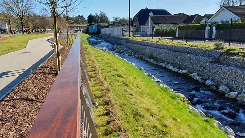
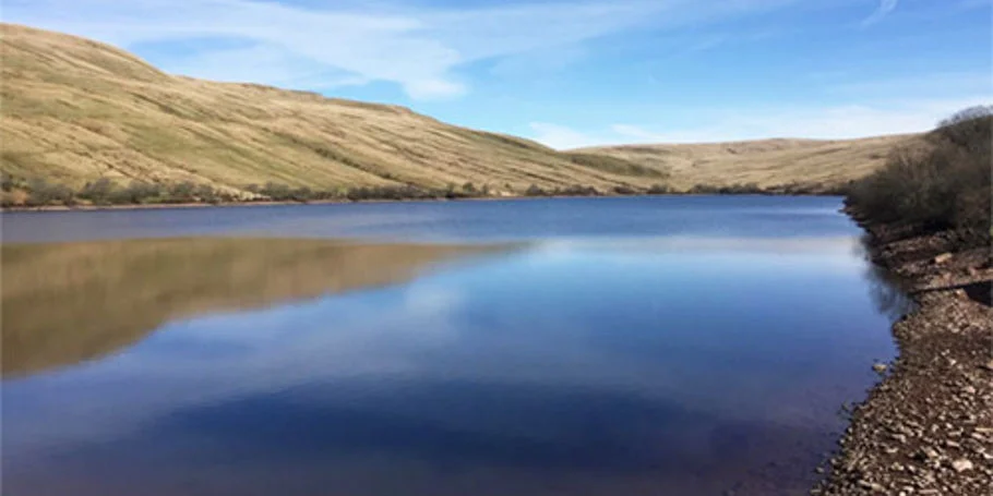
Strengthening flood resilience for communities
Douglas and Togher Flood Relief Scheme, Ireland

Keeping Victoria’s waterways healthy with optimised stormwater management
Feasibility of stormwater flow regulation, Australia
Get in touch with us
If you'd like to speak to one of our water experts about any of the issues raised on this page or a potential collaboration then please get in touch by completing the form.