Helping New York understand and manage the impact of stormwater
NYC Citywide Impervious Area Study

To effectively manage water across an entire city, you need to properly understand the environment it sits within, and crucially where that water will go in times of excess. With that in mind, the New York City Department of Environmental Protection’s (DEP) Bureau of Environmental Planning and Analysis (BEPA) sought our expertise to develop a city-wide impervious area Geographic Information System (GIS) layer.
In simple terms, this was a study to help fully understand the make-up of the land across the City to identify which areas soak up and hold excess water, and which areas are impervious where water simply runs off and can cause problems.
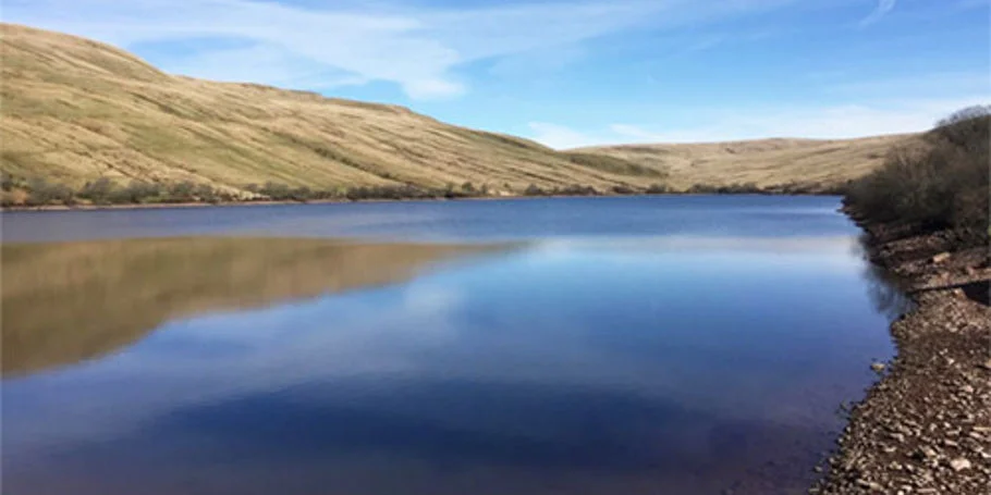
New York City is commonly referred to as a ‘concrete jungle’ due to thousands of square miles of impervious surfaces (roofs, pavements, sidewalks, etc.). However, a significant amount of work has been done by the City in reducing these surfaces which cause significant flooding. One such program is the NYC Green Infrastructure Plan from 2010 which set a course to manage stormwater much more effectively and sustainably.
Using data to drive stormwater management
While an impermeability map was prepared over a decade ago, there have been significant advances in data, map resolution, and remote sensing techniques. Our work was to provide that information to them in forensic detail to ensure DEP could continually update this crucial water management data going forward. This would enable DEP to validate their programme and provide a source of data that DEP can use to drive stormwater policy to improve the quality of the city’s waterways while reducing flood impacts in its neighbourhoods.

Automation and machine learning through digital planning
The task had four stages: research, mapping, a review of what the information gathered told us, and finally to ensure the DEP could update and maintain the process in the future. Searching and gathering information on land permeability was far from simple, but by using automation and digital approaches throughout the project we could reduce production time to complete the largest GIS and remote sensing study that Arup has ever performed.
To carry out such a feat physically would have taken many years, and this is why a digital approach using machine learning was required. Even with the latest digital approach, it still involved a massive amount of data gathering and manual hours to develop the automation process.
A strategic use of data gathering techniques
We used aerial imagery, LiDAR data, planimetric and cadastral data to create one single land cover map. We were able to identify 17 different elements of land space, from roads and building footprints to rivers, lakes and agricultural and green areas. The technology also had to be programmed to recognise vehicles from above and quantify the solid land below, as well taking into account other elements such as tree canopies and shadows which fall at certain times of the day.
The project team classified 1% of the city’s land cover, which was then used to train the machine learning algorithm to automatically produce a complete land cover classification map of New York. To ensure accuracy, the results from our technology were compared with independent hydrologist delineation from 25 randomly selected parcels, where we were able to demonstrate that the technology was above 90% accurate in all areas, even as high as 99% accurate in many.
This enabled us to use this method across the city, collating more than 3TB of multi-spectral imagery, light detection and ranging (LiDAR), and other GIS data to provide analysis of 345 square miles and 857,589 parcels of land.
Sharing data with the DEP
We were able to provide the DEP with accurate high-resolution GIS datasets along with a comparative trend analysis report on the position from 10 years before.
This information has since been posted on an open data portal in New York and is available to the public, bringing total transparency to the understanding of land across the City. It also provided a picture of the impact of environmental programmes undertaken over the past decade, validating the work which has already been done. Importantly, it provides a clear insight for the local environmental agency to understand the city land coverage types to inform and support city wide planning efforts, projects, policies and programs.
Projects
Explore more flooding and stormwater management projects

Promoting climate resilient flood defence and development through nature-based solutions
Lower Darent Riverside Strategy, United Kingdom
Strengthening flood resilience for communities
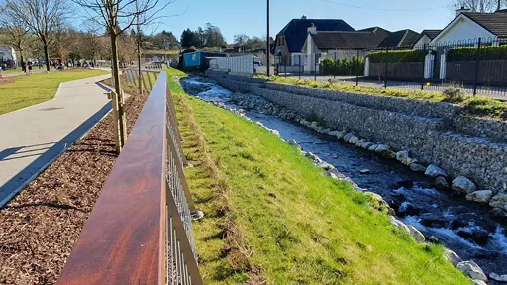
Douglas and Togher Flood Relief Scheme, Ireland

Keeping Victoria’s waterways healthy with optimised stormwater management
Feasibility of stormwater flow regulation, Australia

Developing a viable, cost-effective and sustainable flood relief scheme for Cork County Council
Midleton Flood Relief Scheme, Ireland
Get in touch with us
If you'd like to speak to one of our water experts about any of the issues raised on this page or a potential collaboration then please get in touch by completing the form.