Creating cool and green streets with spatial data
Strategic Prioritisation Map for Water Sensitive Urban Design

The City of Melbourne’s Municipal Integrated Water Management Plan aims to retrofit water sensitive urban design (WSUD) features into streetscapes to enhance tree canopy, treat stormwater and reduce flooding. With growing inquiries from the organisation’s design teams about WSUD suitability, the City of Melbourne sought advice on developing a prioritisation tool to quickly assess site feasibility and the benefits WSUD could offer the city.
Our team of water engineers, digital specialists and geospatial analysts created a digital prioritisation map to identify WSUD opportunities across the city. The map uses a three-layered methodology, evaluating each location’s suitability, relative priority and the recommended WSUD typology. Our digital design aggregates data and integrates with the City of Melbourne’s geographical information system (GIS) interface, CoMPass, so employees can easily access the data.
The digital map supports the City of Melbourne in prioritising the delivery of WSUD where it will have the most benefit and the lowest cost. Some of the types of WSUD features the map recommends include rain gardens, passively irrigated trees and permeable pavements. Our work supports City of Melbourne’s environmental sustainability goals by benefiting the broader water catchment and strengthening the city’s water resilience.

Using data to identify areas for water sensitive urban design
The City of Melbourne asked us to find a way to effectively prioritise where to retrofit water sensitive urban design (WSUD) features in city streets. Working collaboratively, our digital, water and geospatial specialists designed a methodology to assesses streetscapes using three layers: suitability, priority and typology.
Suitability layer
The map identifies suitable locations for WSUD and areas where a retrofit would not be feasible or would be costly. The City of Melbourne provided detailed geospatial data of the drainage network, while light detection and ranging (LIDAR) reports gave topographical data to understand water flow, micro-catchments, and road slopes. This provided our team an understanding of the drainage network, water flow direction, contributing catchment and longitudinal slope.
Priority layer
The map scores each location in terms of priority to ensure investments in WSUD will deliver the greatest value. To achieve this, we needed to understand if the area was a priority for treating stormwater, managing downstream flood risk or combating urban heat. We used spatial analysis to identify streets where we could reduce waterway pollution. By assessing flood risk and contributing catchment areas, we positioned features upstream to ease downstream flooding. Evaluating urban heat vulnerability helped us pinpoint where nature-based solutions could enhance cooling.
Typology layer
The map presents a range of suitable WSUD typologies for consideration through design. We used spatial data to identify the most suitable intervention from City of Melbourne’s recommended WSUD typologies. We identified streets where the footpath was too narrow for a behind-kerb feature, where WSUD could integrate with parking or traffic calming islands in low-speed zones.
Digital map strengthens Melbourne’s integrated water management
Using the data from the three layers in the methodology, our digital team created a digital map of the City of Melbourne which pinpoints where WSUD features should be prioritised. The digital prioritisation map is interactive allowing general practitioners in council to explore the features on the map while more experienced specialists can explore the finite details in each of the layers.
Using python scripting and programming, our digital specialists integrated the map into the City of Melbourne’s geographical information system (GIS) interface called ‘CoMPass’ and provided the team with training and support to use the technology when responding to requests for WSUD features. We can continue to work with the City of Melbourne as new data is available, and to expand the prioritisation map to other parts of the city.

Water sensitive urban design (WSUD) features roadside © City of Melbourne

Street garden design with plantings and drainage © City of Melbourne

Street with planted trees and permeable pavements © City of Melbourne

Garden design to mitigate flood risks © City of Melbourne
Projects
Explore more water projects

Promoting climate resilient flood defence and development through nature-based solutions
Lower Darent Riverside Strategy, United Kingdom

Wetland habitat restoration at a landscape scale
Great North Fen – Restoring the Durham Carrs, United Kingdom
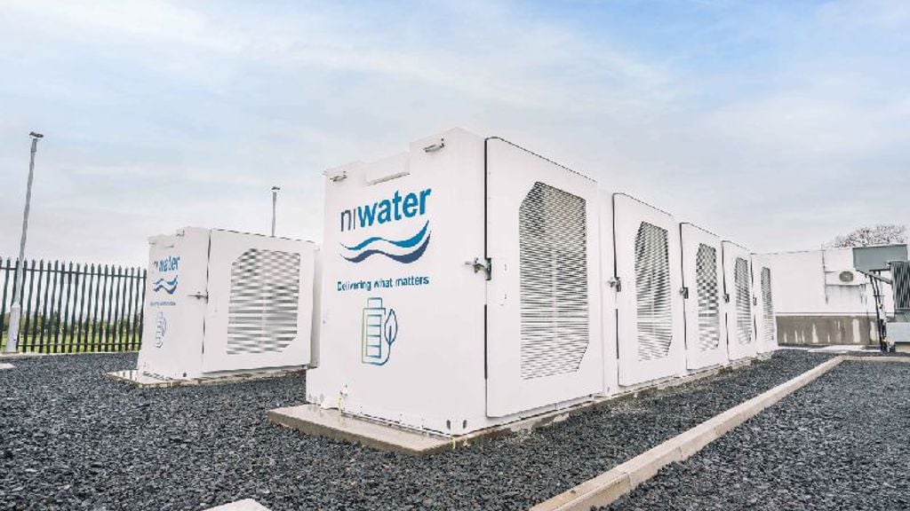
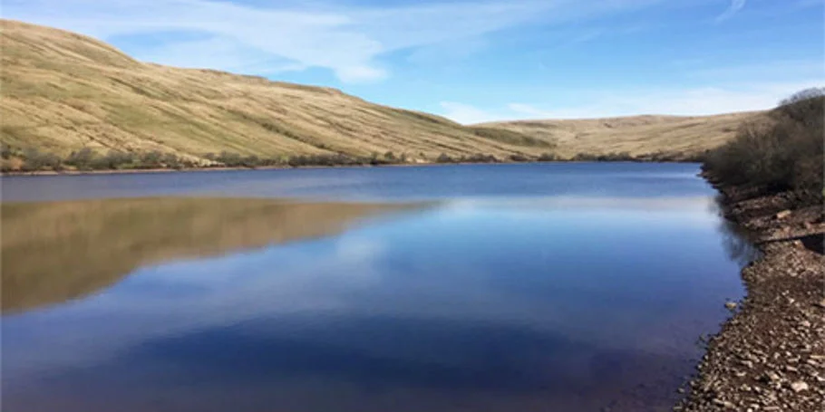
Innovative energy storage powers Northern Ireland Water’s decarbonisation journey
Northern Ireland Water BESS, United Kingdom

Designing underground tunnels for Singapore’s water treatment network
Deep Tunnel Sewerage System Phase 2 T-08 and tunnels from Tuas Water Reclamation Plant, Singapore
Get in touch with us
If you'd like to speak to one of our water experts about any of the issues raised on this page or a potential collaboration then please get in touch by completing the form.