Providing nature-based solutions to protect a community trail from flood risk
The San Francisco Bay Trail Risk Assessment and Adaptation Prioritization Plan

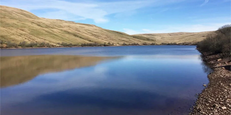
The Bay Trail spans 47 cities and nine counties along 500 miles of the San Francisco Bay’s shoreline, providing recreation and flood protection. With the acceleration of sea level rise, this resource faces increasing risk of major flooding and progressive erosion.
The East Bay Regional Park District needed to plan for the immediate and long-term resilience of the trail. Arup worked with an interdisciplinary team on the San Francisco Bay Trail Risk Assessment and Adaptation Prioritization Plan (RAAPP).
Protecting a community resource from climate change
With many coastal municipalities working to both address and predict the effect of rising sea levels, the RAAPP was developed to establish clear planning horizons that chart projected sea level rise scenarios while also offering critical planning for future impacts and initiating stakeholder collaboration across the dozens of cities the Bay Trail serves.
Making this assessment even more urgent, the East Bay’s complex shoreline puts the trail at a distinctively higher risk to the impacts of flooding. Many of the Bay Area communities it serves are those most disproportionately affected by climate change, and a large proportion of commuters who take regional public transit rely on the Bay Trail to get to work and schools. Any impact on the trail’s critical infrastructure would negatively impact employment, housing, and access to educational opportunities. When evaluating the consequences of flooding along each segment of the Bay Trail, Arup considered social equity, the economy, the environment, and access to public transit.

These insights helped us develop an equity-weighted risk matrix approach comprised of quantitative metrics and site-specific priorities to ensure that adaptation strategies did not disproportionately advantage wealthier communities. Arup’s risk matrix also accounted for the present value of future damages and impacts that climate change could have on the trail and neighboring communities based on several sea level rise scenarios.
Analyzing risk to create resilience
As the leading partner of the Bay Trail risk assessment, Arup developed an equity-weighted risk matrix that identified priority-trail segments and sites for adaptation using a simple formula: risk = hazard x vulnerability x consequence.
With this framework, we gathered data from eight priority sites located across all points of the Bay Trail. When analyzing each site through the risk matrix formula, we prioritized hazard elements like tidal inundation and extreme wave conditions, vulnerability to erosion and damage from a severe flood event, and the consequences that could result from sea level rise and coastal flooding.
The data gathered from this assessment yielded a range of data-driven conclusions including trail repair costs, ecosystem services, and recreational value for each of the priority segments. The metrics also revealed which segments were most in harm’s way from future flooding.
Harnessing data to model resilience
With actionable insights from the Arup-led risk assessment, our partners used the matrix as a decision-support tool to identify two Bay Trail sites as prototypes for nature-based shoreline adaptation projects: Alameda Point and McLaughlin Eastshore State Park. Design concepts for each site were developed and informed by unique local ecological conditions and opportunities to maximize public access to the shoreline and restoration opportunities through nature-based solutions. Consideration was given to address long-term contamination mitigation and stakeholder collaboration at local, regional, and federal levels.
As many cities in California look to develop coastal resilience and climate adaption plans, stakeholder collaboration along with innovative approaches to analysis and design can provide pathways for a sustainable future.

All images provided courtesy of WRT.
Projects
Explore more climate & sustainability projects

Promoting climate resilient flood defence and development through nature-based solutions
Lower Darent Riverside Strategy, United Kingdom

Wetland habitat restoration at a landscape scale
Great North Fen – Restoring the Durham Carrs, United Kingdom

Auckland’s first urban heat assessment guides climate adaptation planning
Auckland Urban Heat Assessment, New Zealand

Supporting Network Rail’s transformation to meet the challenges of climate change
Weather resilience and drainage asset management transformation, United Kingdom
Get in touch with us
If you'd like to speak to one of our water experts about any of the issues raised on this page or a potential collaboration then please get in touch by completing the form.