Active travel analysis and modelling
We combine active travel principles with data analytics and modelling to measure and guide active travel initiatives and streetscape changes.

In Hong Kong, we used the first integrated simulation model to combine interactions between pedestrian and vehicular traffic to mitigate congestion and improve pedestrian accessibility.
We also use our own people movement MassMotion tool to simulate pedestrian behaviour in different scenarios. By factoring in the purpose of individual trips, we can plan for different scenarios and more accurately forecast travel demand.
Explore
Learn more about how our services can support your project:
Projects
Explore more roads and streets projects
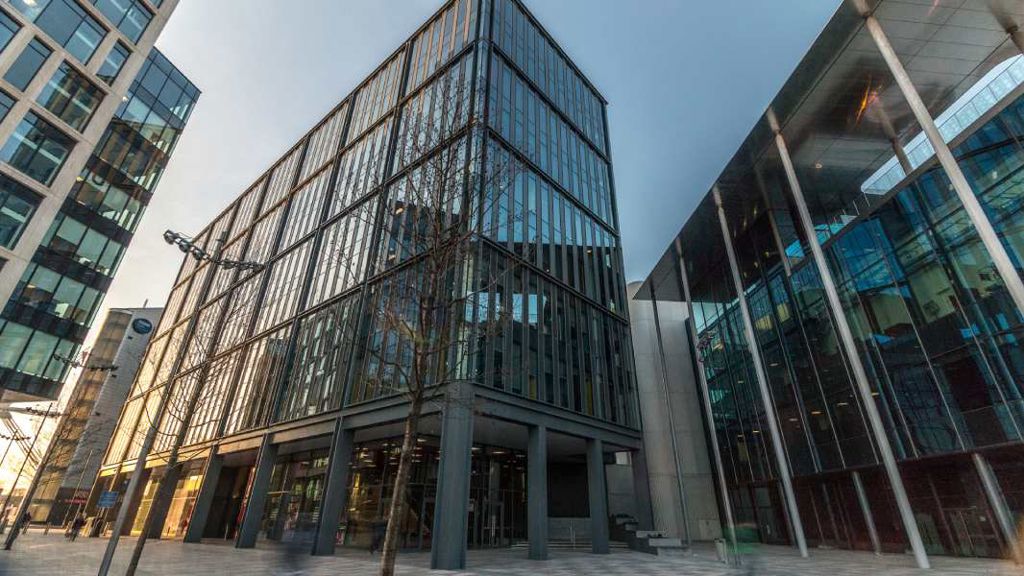
Major redevelopment transformed with integrated transport and sustainable design
Cardiff Central Square
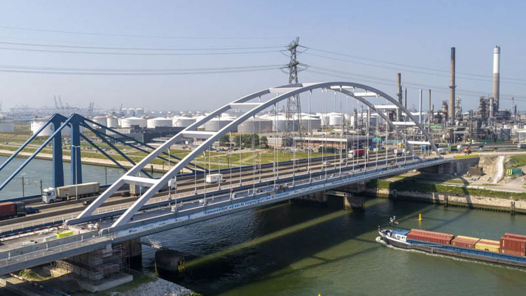
Strengthening Suurhoff bridge with innovations in bridge renovation
Suurhoff bridge, Netherlands

Sustainable innovation drives design of Copenhagen’s proposed Eastern Ring Road
Eastern Ring Road, Denmark
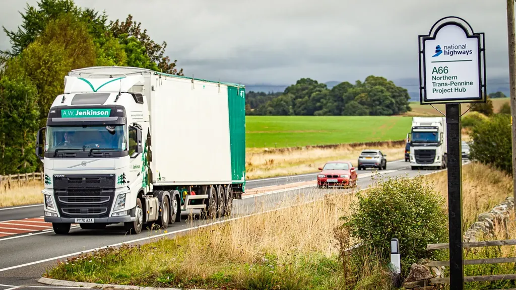
Transforming the A66 Northern Trans-Pennine to deliver more than just safer journeys
A66 Northern Trans-Pennine upgrade, United Kingdom
Active travel
Adapting existing neighbourhoods and districts to accommodate a more complex mix of pedestrians, bikes, scooters and powered vehicles requires thoughtful planning. Our active travel team helps clients navigate decision making routes seek to solve, to deliver lasting benefits to communities.
